
Plik:China Tibet Autonomous Region adm location map.svg

Rozmiar pierwotny (Plik SVG, nominalnie 2013 × 1137 pikseli, rozmiar pliku: 510 KB)
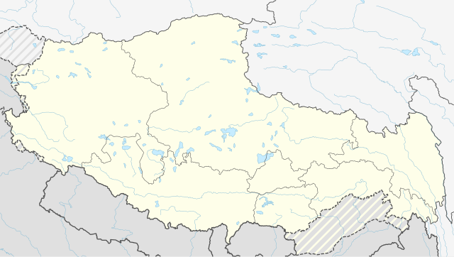
Opis
| Opis |
Deutsch: Positionskarte des Autonomen Gebiets Tibet, Volksrepublik China
English: Location map of the Tibet Autonomous Region, People's Republic of China
|
||||||||||||
| Data | |||||||||||||
| Źródło |
Praca własna przy użyciu:
|
||||||||||||
| Autor | NordNordWest | ||||||||||||
| Inne wersje |
|
||||||||||||


|
Ta mapa została stworzona lub ulepszona w niemieckiej Kartenwerkstatt (Pracowni Kartograficznej). I Ty możesz zaproponować inne mapy do ulepszenia.
|
Licencja
Usage of this file with:

explanatory notes: Legally binding is only the full legalcode. For a free usage I recommend to respect the following licence conditions:
1. Provide my name as given above: NordNordWest,
2. a copy of, or the URI for, the applicable license: https://creativecommons.org/licenses/by-sa/3.0/de/legalcode,
3. the title of the work,
4. in the case of an adaptation, a credit identifying the use of the work in the adaptation.
This license and the rights granted hereunder will terminate automatically upon any breach by you of the terms of this license. Any of the above conditions can be waived if you get permission from the copyright holder. If you have questions or wish differing conditions, please contact me through nnwest or my discussion page ![]() t-online.de
t-online.de
- Wolno:
- dzielić się – kopiować, rozpowszechniać, odtwarzać i wykonywać utwór
- modyfikować – tworzyć utwory zależne
- Na następujących warunkach:
- uznanie autorstwa – musisz określić autorstwo utworu, podać link do licencji, a także wskazać czy utwór został zmieniony. Możesz to zrobić w każdy rozsądny sposób, o ile nie będzie to sugerować, że licencjodawca popiera Ciebie lub Twoje użycie utworu.
- na tych samych warunkach – Jeśli zmienia się lub przekształca niniejszy utwór, lub tworzy inny na jego podstawie, można rozpowszechniać powstały w ten sposób nowy utwór tylko na podstawie tej samej lub podobnej licencji.

Historia pliku
Kliknij na datę/czas, aby zobaczyć, jak plik wyglądał w tym czasie.
| Data i czas | Miniatura | Wymiary | Użytkownik | Opis | |
|---|---|---|---|---|---|
| aktualny | 19:59, 13 kwi 2020 | | 2013 × 1137 (510 KB) | NordNordWest | c |
| 13:23, 29 maj 2016 |  | 2013 × 1137 (508 KB) | NordNordWest | == {{int:filedesc}} == {{Information |Description= {{de|1=Positionskarte des Autonomen Gebiets Tibet, Volksrepublik China}} {{en|1=Location map of the Tibet Autonomous Region, People's Republic of China}} {{Location map series N |stretching=118 |top=37... |
Lokalne wykorzystanie pliku
Następujące strony korzystają z tego pliku:
Globalne wykorzystanie pliku
Ten plik jest wykorzystywany także w innych projektach wiki:
- Wykorzystanie na de.wikipedia.org
- Wykorzystanie na en.wikipedia.org
- Wykorzystanie na he.wikipedia.org
- Wykorzystanie na mn.wikipedia.org
- Wykorzystanie na pl.wikipedia.org
- Wykorzystanie na zh.wikipedia.org
Pokaż listę globalnego wykorzystania tego pliku.