
Plik:German Empire 1937 adm location map.svg

Rozmiar pierwotny (Plik SVG, nominalnie 1425 × 1133 pikseli, rozmiar pliku: 763 KB)
Opis
| Opis |
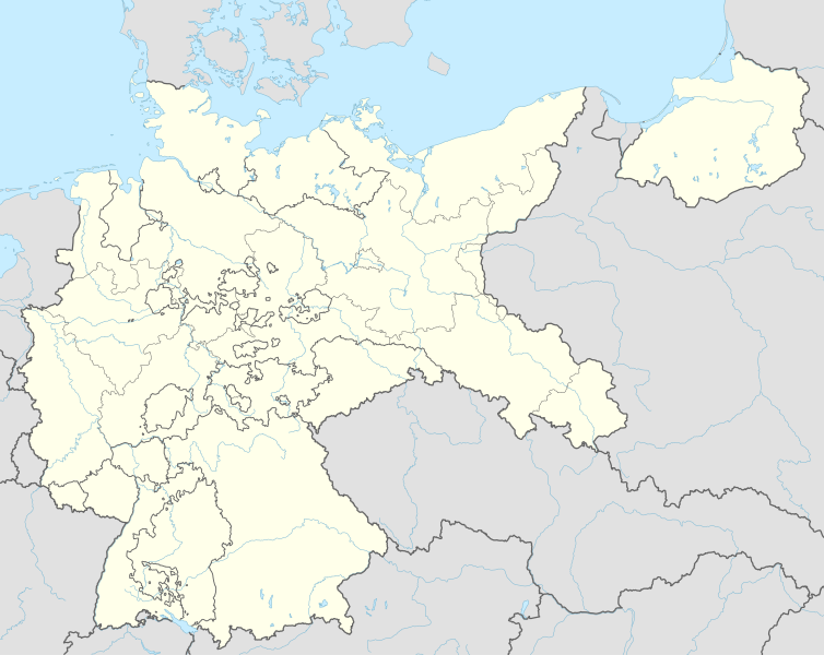
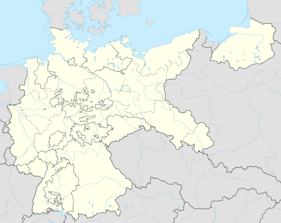
Deutsch: Positionskarte für das Deutsche Reich, 1937
English: Location map of the German Reich (Germany), 1937
|
||||||||||||
| Data | |||||||||||||
| Źródło |
Praca własna przy użyciu:
|
||||||||||||
| Autor | NordNordWest | ||||||||||||

|
Ta mapa została stworzona lub ulepszona w niemieckiej Kartenwerkstatt (Pracowni Kartograficznej). I Ty możesz zaproponować inne mapy do ulepszenia.
|
Licencja
Usage of this file with:

explanatory notes: Legally binding is only the full legalcode. For a free usage I recommend to respect the following licence conditions:
1. Provide my name as given above: NordNordWest,
2. a copy of, or the URI for, the applicable license: https://creativecommons.org/licenses/by-sa/3.0/de/legalcode,
3. the title of the work,
4. in the case of an adaptation, a credit identifying the use of the work in the adaptation.
This license and the rights granted hereunder will terminate automatically upon any breach by you of the terms of this license. Any of the above conditions can be waived if you get permission from the copyright holder. If you have questions or wish differing conditions, please contact me through nnwest or my discussion page ![]() t-online.de
t-online.de
- Wolno:
- dzielić się – kopiować, rozpowszechniać, odtwarzać i wykonywać utwór
- modyfikować – tworzyć utwory zależne
- Na następujących warunkach:
- uznanie autorstwa – musisz określić autorstwo utworu, podać link do licencji, a także wskazać czy utwór został zmieniony. Możesz to zrobić w każdy rozsądny sposób, o ile nie będzie to sugerować, że licencjodawca popiera Ciebie lub Twoje użycie utworu.
- na tych samych warunkach – Jeśli zmienia się lub przekształca niniejszy utwór, lub tworzy inny na jego podstawie, można rozpowszechniać powstały w ten sposób nowy utwór tylko na podstawie tej samej lub podobnej licencji.

Historia pliku
Kliknij na datę/czas, aby zobaczyć, jak plik wyglądał w tym czasie.
| Data i czas | Miniatura | Wymiary | Użytkownik | Opis | |
|---|---|---|---|---|---|
| aktualny | 20:01, 15 cze 2015 | | 1425 × 1133 (763 KB) | NordNordWest | c |
| 23:36, 13 cze 2015 |  | 1425 × 1133 (763 KB) | NordNordWest | == {{int:filedesc}} == {{Information |Description= {{de|1=Positionskarte für das Deutsche Reich 1937}} {{en|1=Location map of the German Empire 1937}} {{Location map series N |stretching=160 |top=56.0 |bottom=47.2 |left=5.5 |right=23.2 }} |Source={{Ow... |
Lokalne wykorzystanie pliku
Następujące strony korzystają z tego pliku:
Globalne wykorzystanie pliku
Ten plik jest wykorzystywany także w innych projektach wiki:
- Wykorzystanie na ar.wikipedia.org
- Wykorzystanie na az.wikipedia.org
- Wykorzystanie na ba.wikipedia.org
- Wykorzystanie na ca.wikipedia.org
- Wykorzystanie na ceb.wikipedia.org
- Wykorzystanie na da.wikipedia.org
- Wykorzystanie na de.wikipedia.org
- Harburg-Wilhelmsburg
- Tannenberg-Denkmal
- Reichs-Rundfunk-Gesellschaft
- Benutzer Diskussion:Spischot
- Wikipedia:Kartenwerkstatt/Positionskarten/Europa
- Geschichte des Hörfunks in Deutschland
- Vorlage:Positionskarte Deutsches Reich
- Benutzer:Scialfa/Muna
- Benutzer:Joellewi/Standorte in Deutschland
- Wikipedia:Kartenwerkstatt/Archiv/2016-09
- Wikipedia Diskussion:Kartenwerkstatt/Archiv7
- Benutzer Diskussion:Markus Schulenburg/Infobox historischer Landkreis
- Wykorzystanie na en.wikipedia.org
- 20 July plot
- Bergen-Belsen concentration camp
- Gleiwitz incident
- Dachau concentration camp
- Mittelbau-Dora concentration camp
- Nazi concentration camps
- Wolf's Lair
- Marlag und Milag Nord
- Stalag Luft III
- Stalag II-B
- Stalag Luft 7
- Oflag VII-A Murnau
- Oflag IV-B Königstein
- Stalag III-C
- Stalag Luft IV
- Oflag II-D
- 4th Panzer Army
- Oflag XIII-B
- Stalag VI-B
- Stalag III-A
- Stalags XI-B, XI-D, and 357
- Stalag IX-B
- Stalag VIII-A
- Stalag IV-G
- Mittelwerk
- Battle of Bautzen (1945)
- Friesack Camp
- Stalag VIII-B
- Task Force Baum
- Stalag IV-B
Pokaż listę globalnego wykorzystania tego pliku.